
We had been planning to do a trek in northeast India for a long time. Although we had done the Goechela Trek in Sikkim a couple of years back, we were yet to trek in any of the Seven Sisters in recent times. So, when our Instagram feed was suddenly flooded with this “secret” hike in Anini, we got our perfect candidate.
Anini is undoubtedly a slice of heaven in Arunachal Pradesh. It has been termed as a well-kept secret of Northeast India. However, after visiting Anini, we found that it is no longer a secret place. In fact in the time of social media, I don’t think any of these beautiful destinations are “secret” as such.
However, this is not an article on Anini, it is about one of the toughest one-day treks we had done. And we have done a fair share of treks.
Pomo Hike or Pomo Trek in Anini
The plan was simple – visit Anini, explore the waterfalls and hike the Emuli Grasslands. But a sudden feed on our Instagram from a local creator tweaked the plan a bit. A gorgeous waterfall, a precariously hanging bridge over a gushing river, green forests and a huge tree had us completely besotted by the place, especially Agni. And what the husband wants, the wife tries to get!
I tried to find information about Pomo Hike or Pomo trek in Anini on the internet. There were very few – none of them gave any solid information. So, I contacted a local guide to know more about Pomo hike. It seemed that if we did the Pomo hike, we would have to miss out on either the Emuli Grassland or the waterfalls. Because we did not have days to spare. We had already spent an extra day in Mechuka as we fell in love with the place. Now there was no extra day for Anini, as we have to think about our full-time job as well.
Believe me, it was a tough choice. Both these places are in different directions from Anini town and were equally breathtaking. After much contemplation and discussion, we decided to skip Emuli Grassland. Pomo hike apparently had a grassland too.
Reaching Anini
Home to the Idu-Mishmi tribe, Anini is truly breathtaking. A small hilly settlement in Arunachal Pradesh, Anini is like a nature lovers’ dream come true. There are green mountains, waterfalls and quaint villages. As we were coming from Mechuka, we had already spent the last two nights at Along and Roing respectively.
We started from Roing early in the morning towards Anini. Just like everyone, we stopped at Mayudia Pass to take photographs and then at Hunli village. We reached Anini at around 2.30 pm. We were doing the Pomo hike the next day.
In the evening, we met our guide. He informed us that he will come to pick us up at 3:00 AM in the morning. We also got a pair of gumboots for the trek (you will understand why as you read through the post). He also asked us to get enough food for the trek, because there wasn’t any eating place on the trail.
For a moment, I was a bit skeptical. What did we get into? But being the adventurous soul that we are, we simply decided to look forward to the Pomo Trek with lots of enthusiasm.
Drive towards Bruni
Our guide arrived exactly at 3:00 AM as promised and we started from Anini exactly at 3:15 AM. We had to drive to Bruni or Bruint, around 60 km away located deep inside the Dibang Valley Sanctuary near the Indo-Tibet border.
It was pitch dark when we started. The drive was painfully slow and I had, for most part of the journey, dozing. So, I do not really remember the path while going towards Bruni. All that I know was the drive was slow, a bit rough in the beginning. By the time I woke up, it was almost 5 AM and we reached the Indo-Tibetan Security check post.
Our permits were checked there. Yes, you have to get a permit to do the Pomo Trek. For one, it is inside the Dibang Valley Sanctuary. Secondly, it is near the border area. Tibet is just beyond one of the tall mountains that you could see.
Pomo Hike – The Climb
Pomo hike is around 8 km one way. Though I am always skeptical of distances in the mountains, especially trekking trails, I thought 16-20 km would be manageable in a day.
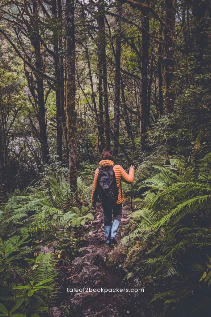
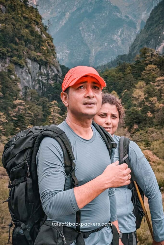
We started the trek by 5:30 AM. As we entered the forest, I realized that we had clearly come to a different world. It was green and brown all around – with different shades of green. The initial stretch required a steep uphill climb for around 10-15 minutes.
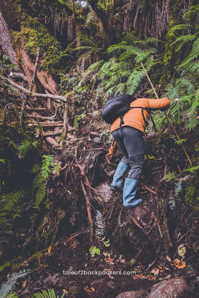
And so, we climbed. The elevation was not much of a problem. We did higher elevation treks in Nepal and other parts of India. What troubled me a bit was the gumboots I wore. I had used gumboots for trekking only in Chadar Trek, and that too we had to walk over ice at that time. But this time, we had to step on sharp rocks and protruding roots, which hurt my feet now and then.
The Trek Experience
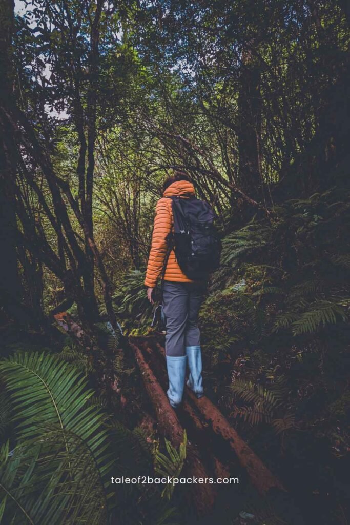
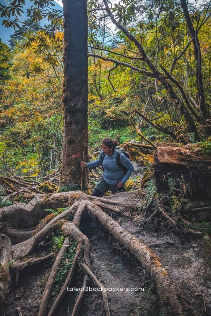
15 minutes into the trek, and I realized that this was something I had never done before. The trail is completely raw – with rocks, boulders and roots all the way. There are no cut steps, no paved paths – only huge rocks and bamboo steps and bridges made by the local people to make our lives a bit easier.
Walking on these makeshift bridges was a test of balance as well. It took me some time to get used to the trail and my gumboots as well.
The Trail
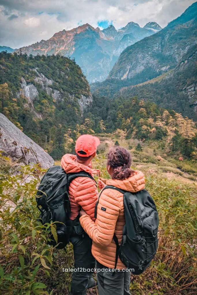
What can I say about the trail? It was absolutely breathtaking. I had never seen such an untouched trail before. The forest was deep; the trees stood like giants over us. And there were the sounds of various insects. It was a different world altogether.
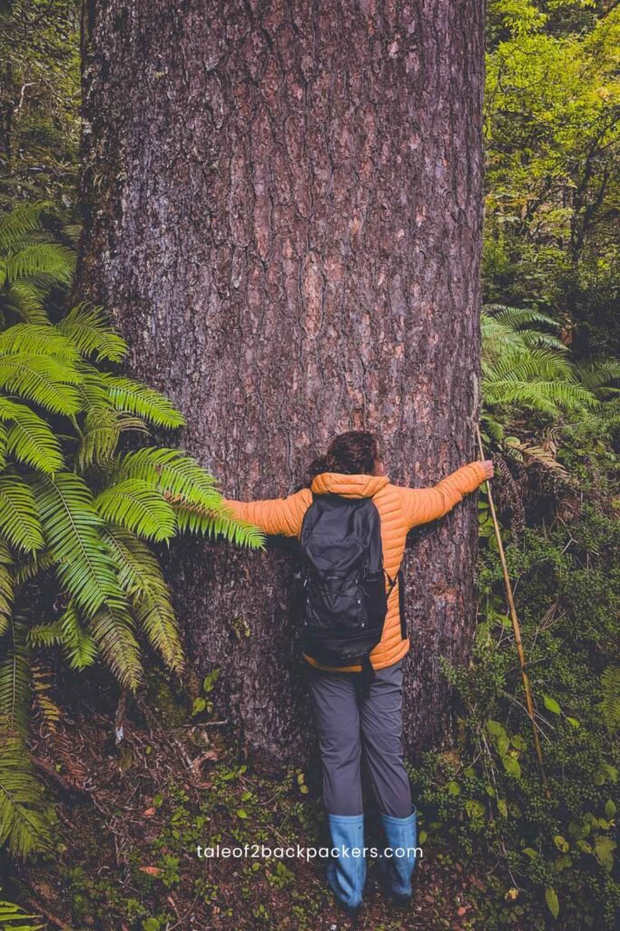
After trekking for some time, I saw a huge tree with a very thick trunk. It felt so peaceful and so serene that I simply had to stop and hug that tree. We, living in the cities, do not really understand what these trees do for us.
And then came the annoying part of the trail – the muddy patch. And that’s why we needed the gumboots. Several parts of the trail were muddy and my legs would go inside the mud quite a bit. It was October and yet there was a lot of mud on the trail. I wonder what it would have been during the monsoons.
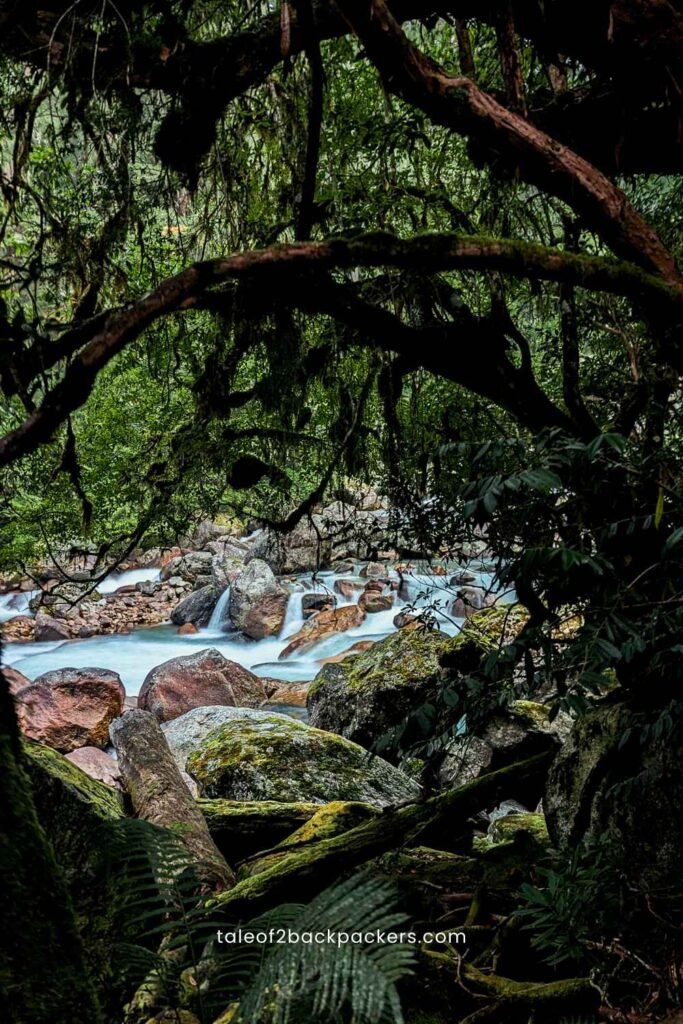
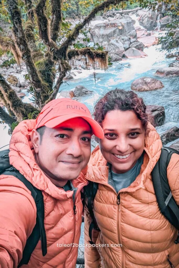
The trail always kept us on our toes. While it was not overly difficult, it was also not something we were used to. Moving through the rocks, roots and mud was tiring me a lot. But the surroundings made up for it. If not the deep forests, there was the sound of gushing rivers and the view of turquoise blue water. Whenever I felt tired and questioning my life choices, I would hear the gushing river or be mesmerized by a gorgeous fern or something else.
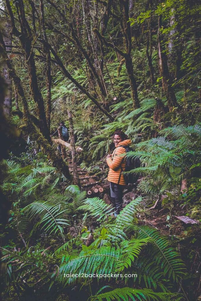
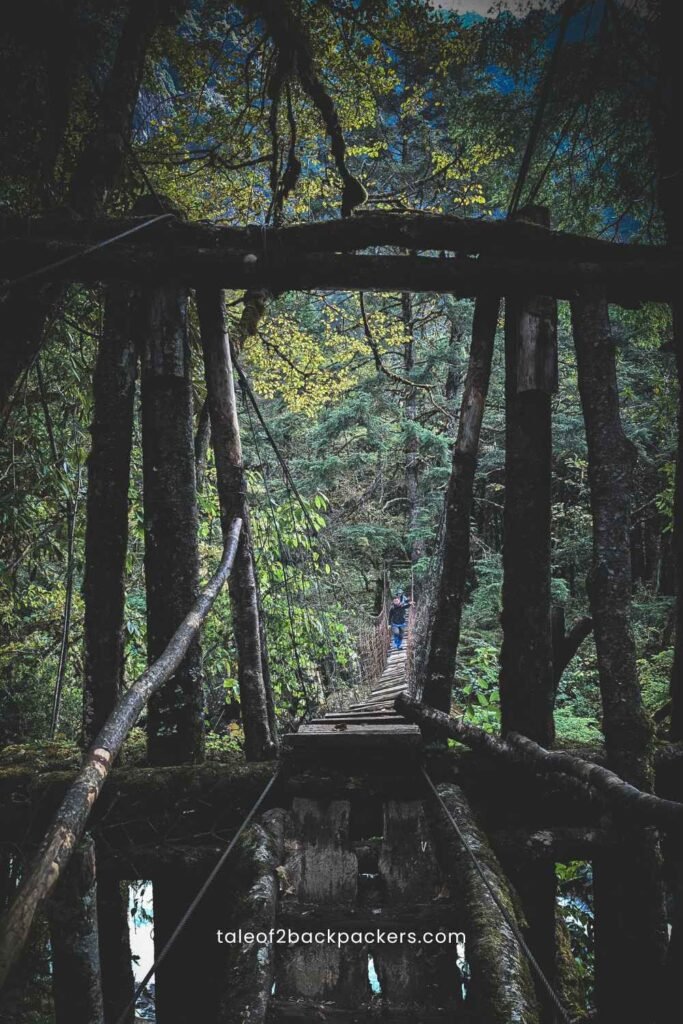
I don’t really remember the exact time – but I think after trekking for about two hours we reached the hanging bridge. The river was quite low at that time, but during the monsoon, it would be just near the bridge. Crossing a hanging bridge is quite the experience. Anyone who has done that definitely knows.
We also crossed two ITBP camps. In the second camp, we met ITBP personnel from West Bengal. He was just so happy to meet two people from his home state.
Pomo Waterfall
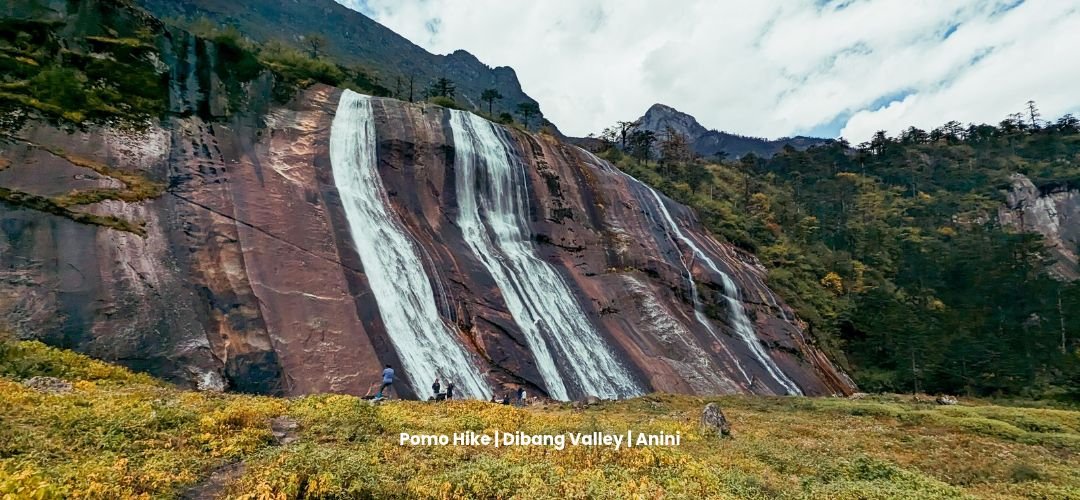
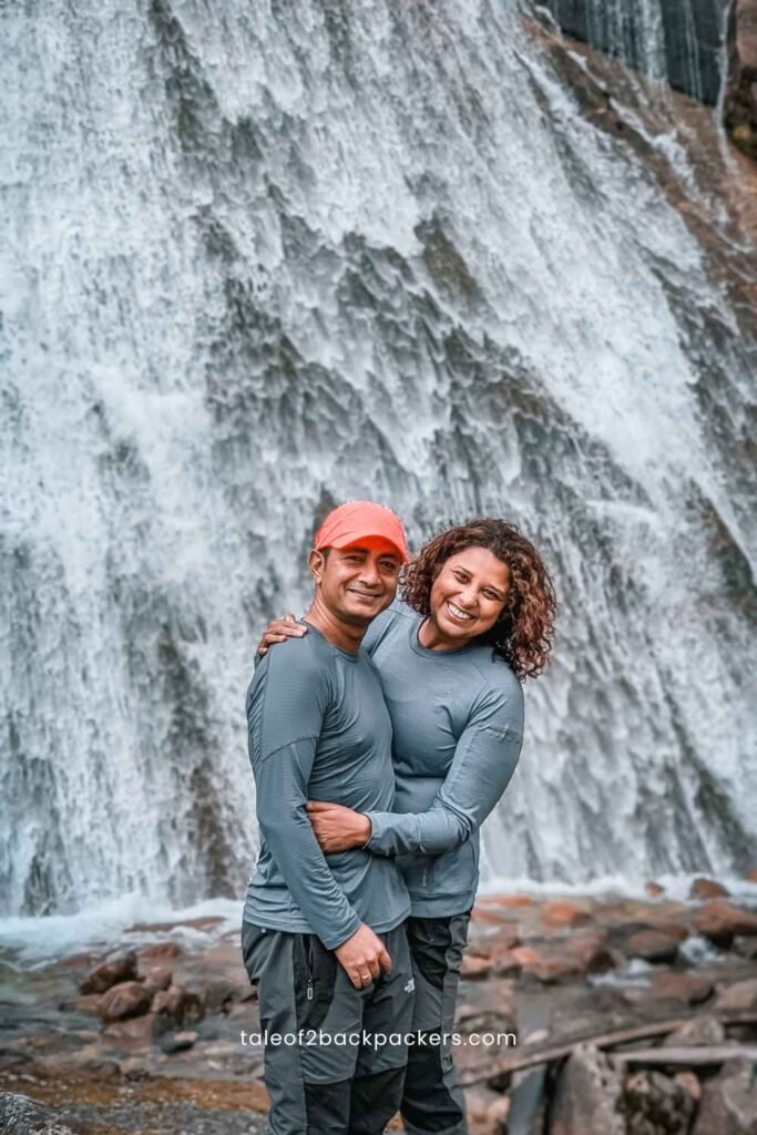
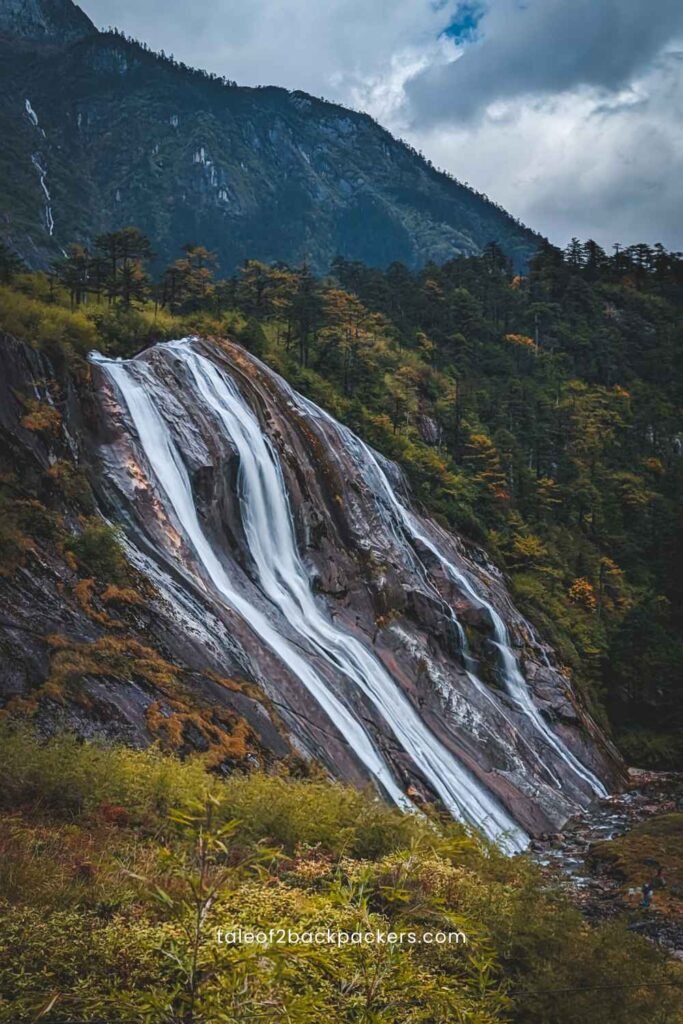
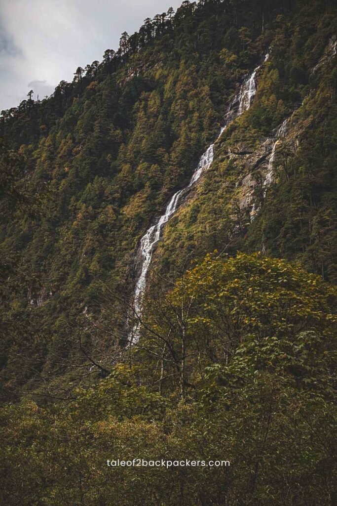
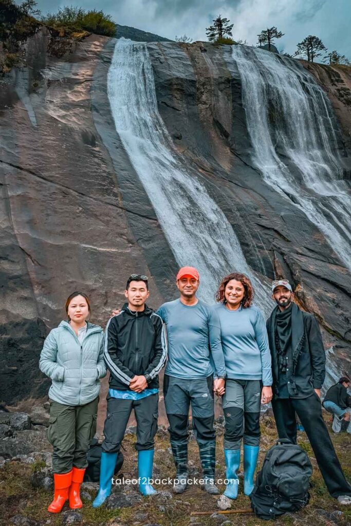
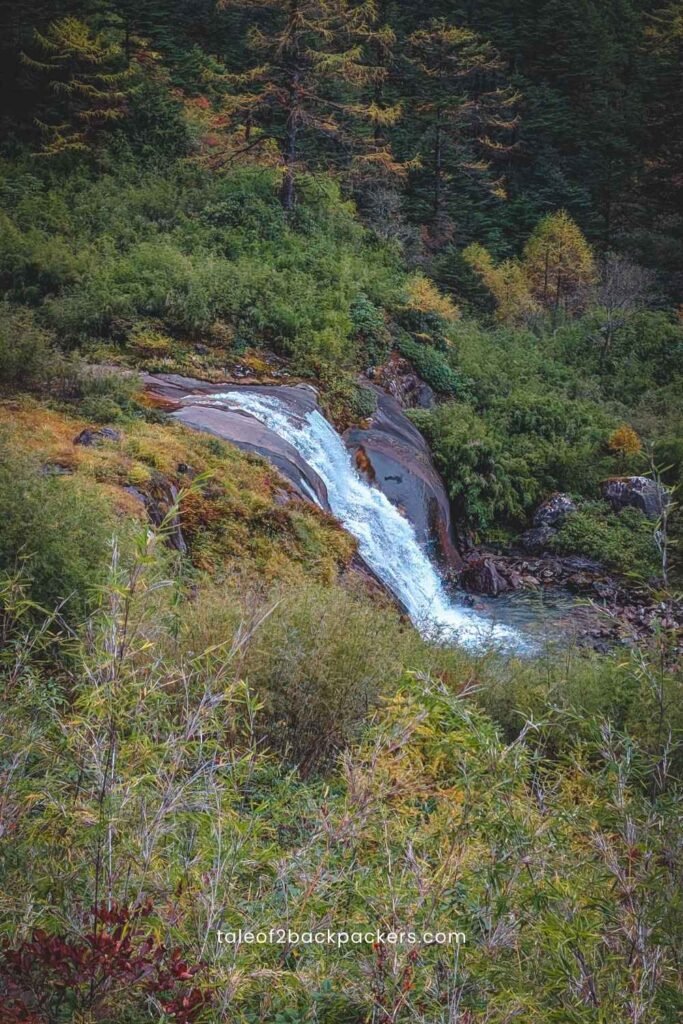
After trekking for about four and a half hours, we reached the Pomo Waterfall. The first glimpse had me awestruck. It gave me an extra bit of energy to reach in front of the waterfall a bit faster.
The waterfall was beautiful. We stood in front of the waterfall feeling the sprays of water on my face. We were tired, but this was worth it – all the tiredness.
We sat down and had bread, cake and biscuits there.
I was lazing around there enjoying the views and the cool air when our guide came and told us ‘lets go’.
I looked at him surprised and asked him where we should go.
“Pomo Grassland”, was his reply.
Pomo grassland is just on top of the Pomo Waterfall. It is another km trek from the waterfall to the grassland.
Hike to Pomo Grassland
After seeing the waterfall and with food in our bellies, we were once again quite enthused about the Pomo Grassland.
We started our trek towards the grassland this time. I thought it would be easy – it’s a grassland only! But it was steep. The incline was high. I had to scramble while climbing up, and was wondering how I was supposed to get down! I have always believed climbing up is easier than getting down. The Pomo Hike actually proved it.
At one part, there was a huge rock with almost a 60-degree incline that we had to climb. After a struggling hike for about another 25 minutes, we reached the Pomo Grassland. And once we were there, we were greeted with lots of muddy patches in between bamboo forests.
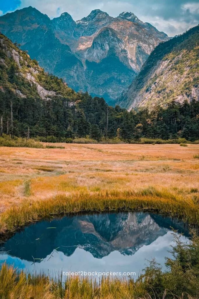
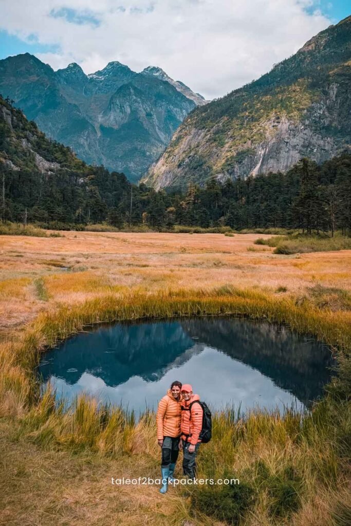
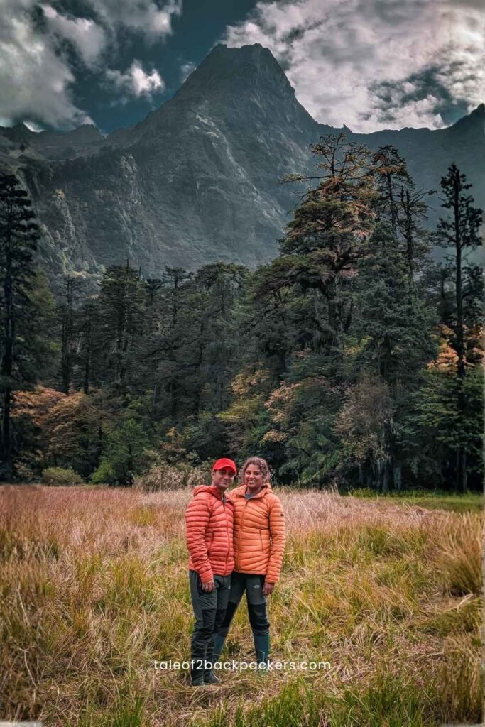
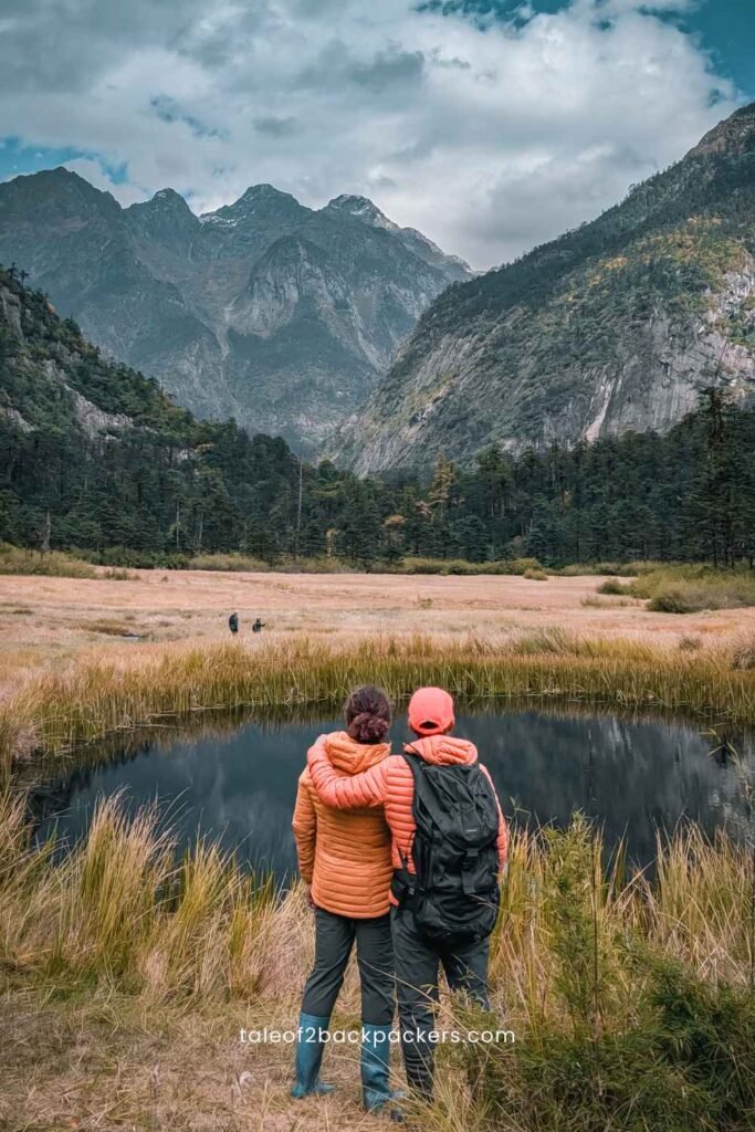
After walking for a few minutes more, the entire landscape suddenly opened up. We came across a green grassland with mountains surrounding the place – with a couple of snow-capped mountains as well. There was also a hot spring thrown in the mix.
There was a small pond almost in the middle of the grassland. It’s considered sacred by the locals.
The place was so peaceful. I felt like I could stay there for the whole time. Considering that I was quite tired at that time, it certainly seemed to be a good option. But quite obviously, staying there was not an option. We had to trek down to Bruni and then drive back to Anini.
We had to return the same way back. But trekking down turned out to be a tad bit tougher. We were hungry and climbing down those rocks definitely took a toll on our knees. In fact, for the last two hours of the trek, I was literally dragging myself down. My guide was really wonderful. She held my hands and helped me maneuver the tricky sections. That saved a bit of time.
It was around 4:40 PM when it turned completely dark inside the forest. We could not see anything in front of us. Fortunately, I had my headlamp with me. I simply did not know how I moved in the last twenty minutes of the trail. There were parts where I literally dragged myself down the hard portions.
By 5 PM, we finally reached the starting point. Exhausted and hungry, we simply wanted to return back to our stay and have dinner and sleep. After all, it was taxing day for us.
Pomo Trek – The Experience
Pomo Trek is a difficult one-day trek. Trekking up to the Pomo Grassland and then coming back is not for the faint hearted. The trail is tough, but who said that we can get the best things easily? The Pomo Waterfall, Pomo grassland and the trail in between were more than worth all the trouble.
If it were a couple of years before, I might not have been able t o do the trek. Running and training for marathons has definitely made us stronger and fitter.
So there is a bit of advice going out – attempt Pomo hike only if you are strong and fit enough. Otherwise, it is going to be quite difficult.
Some Facts about Pomo Hike
Where does Pomo Hike start from?
Pomo Hike or Pomo trek starts from Bruni or Bruint located in Dibbang Valley near Anini, Arunachal Pradesh. Bruni is located 65 km from Anini town. Google Maps do not work there yet.
How long is the Pomo hike?
The Pomo hike is around 8 km one way where you reach the Pomo waterfall and then the Pomo Grassland. It generally takes 4 to 5 hours one way.
You can also do the trek in 2 days, camping somewhere on the trail.
There is an alpine lake – Pomo Lake, which is another 6-7 km hike. If you want to attempt the Pomo Lake, you would need 2 nights and 3 days. The local guides can arrange an entire package for you as per your requirement.
Is a guide required for Pomo Trek?
A guide is mandatory for Pomo Trek.
Are permits required for Pomo Trek?
Yes, you require a permit for Pomo trek. It costs INR 50 per head. Your guide can arrange that for you.
A Few More Photographs from the Pomo Hike

0 Comments